Wintry Mix Could Mean Tricky Travel Conditions this Weekend
A wintry mix moving into Mid-Michigan on Saturday could make travel conditions dicy across much of the area.
As temperatures rise through the 40s today (1/9) and even into the lower 50s on Friday, precipitation will come in the form of rain. The heaviest rainfall will likely occur Friday night, as one inch of rain is possible. Some areas, especially along the shoreline and toward Tuscola and Saginaw Counties could see some flooding.
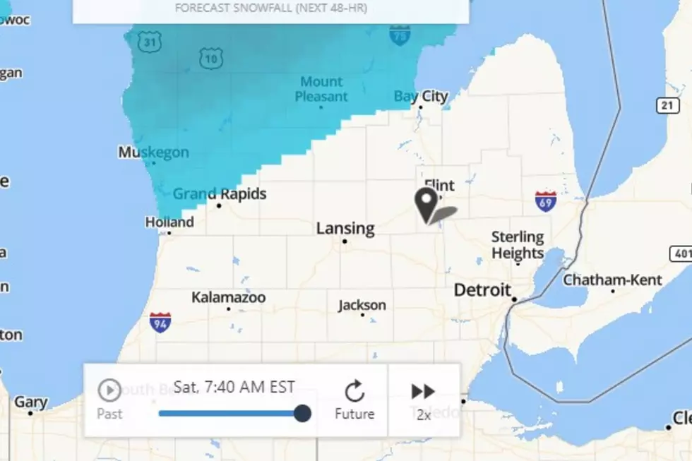
Then on Saturday, the Weather Channel indicates that rain could change over to snow in the morning and take the form of a wintry mix of sleet and freezing rain by afternoon. Early predictions indicate the possibility of 1 to 3 inches of snow and ice.
Our news partners at Mid-Michigan Now are predicting that we could see ice accumulations, "depending on the timing of the temperature drops" on Saturday.
If you have plans for Saturday, be prepared for slippery roads and treacherous driving conditions.
More From Cars 108