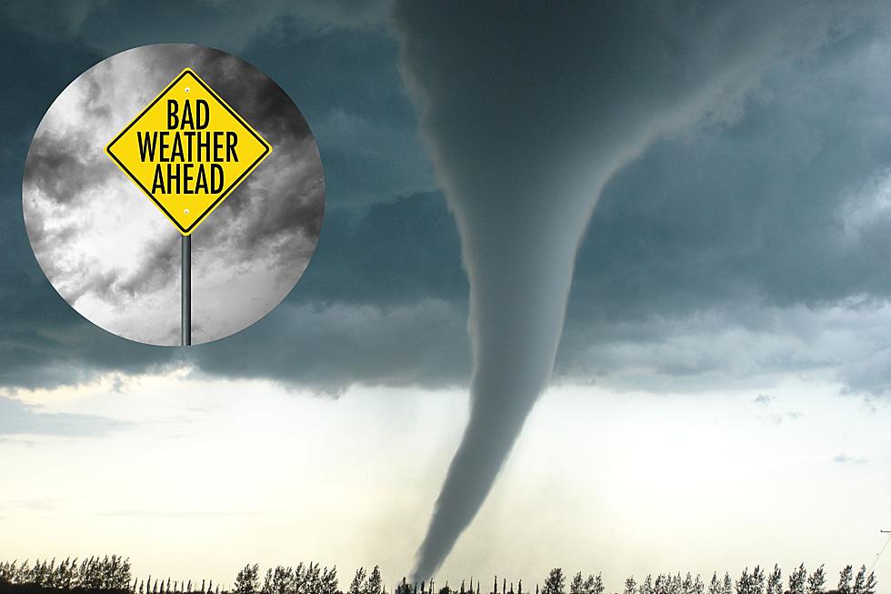
Severe Weather in Michigan Gets a Jolt this Week: What to Know
Spring has officially arrived and that means with warmer temps & longer days comes the risk of severe weather. Almost immediately across the midwest reports of damaging thunderstorms and tornados sprung up, and it looks like mid-Michigan could get its first round of severe storms this week.

The Genesee Country area is looking at potential strong thunderstorms, high winds, hail, and possible tornados mid-week. According to The National Weather Service, Michigan averages 15 tornadoes each year. The average lead time for tornadoes to develop is 10 to 15 minutes, so residents must be ready to react quickly when a warning is issued.
Tornadoes occur most frequently from April until July. Tornadoes can strike with little warning, and even though meteorologists are now better able to predict the signs a twister is coming it sometimes isn’t enough. Knowing what to look for can add even a few extra minutes, allowing anyone in harm’s way to seek shelter.
Warning Signs that a Tornado May Develop
- A dark, often greenish, sky.
- Shelf clouds
- Wall clouds or an approaching cloud of debris.
- Large hail often in the absence of rain.
- Before a tornado strikes, the wind may die down and the air may become very still.
- A roar similar to a freight train may be heard.
- An approaching cloud of debris, even if a funnel is not visible.
What's the Difference Between a Tornado Watch vs Warning?
Storms can change quickly and knowing what to look for and what makes a storm a watch or warning can be key to staying safe. According to the National Weather Service, this is the difference between a Tornado Watch and a Tornado Warning:
- Tornado Watch: Be Prepared! Tornadoes are possible in and near the watch area. Review and discuss your emergency plans and check supplies and your safe room. Be ready to act quickly if a warning is issued or you suspect a tornado is approaching. Acting early helps to save lives! Watches are issued by the Storm Prediction Center for counties where tornadoes may occur. The watch area is typically large, covering numerous counties or even states.
- Tornado Warning: Take Action! A tornado has been sighted or indicated by weather radar. There is imminent danger to life and property. Move to an interior room on the lowest floor of a sturdy building. Avoid windows. If in a mobile home, a vehicle, or outdoors, move to the closest substantial shelter and protect yourself from flying debris. Warnings are issued by your local forecast office. Warnings typically encompass a much smaller area (around the size of a city or small county) that may be impacted by a tornado identified by a forecaster on radar or by a trained spotter/law enforcement who is watching the storm.
As always, it's best to take every watch and warning seriously and seek shelter when advised.
LOOK: The most expensive weather and climate disasters in recent decades
Gallery Credit: KATELYN LEBOFF
KEEP READING: Get answers to 51 of the most frequently asked weather questions...
More From Cars 108


